
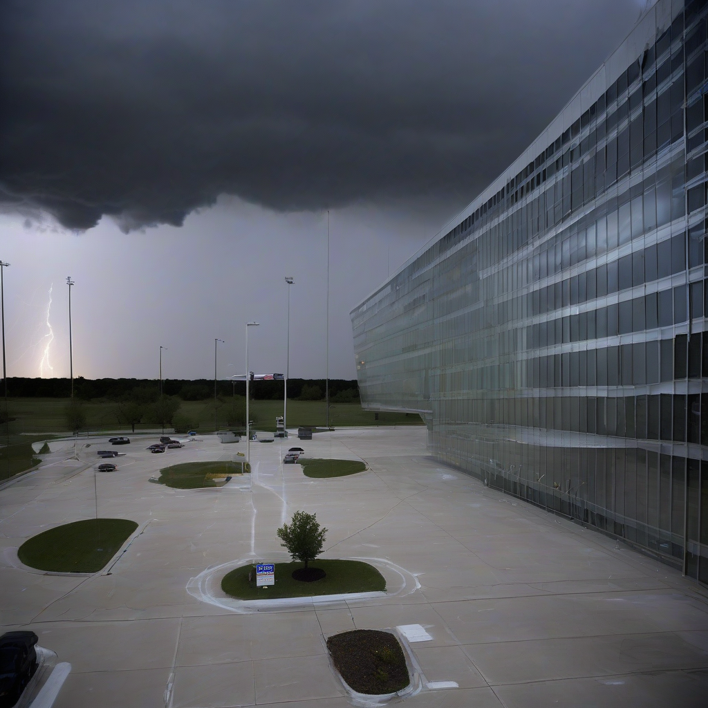
Meteorological conditions currently moving across Texas have prompted authorities to issue warnings regarding potential hail development this evening. According to NWS Alerts, residents in specific areas of the state should prepare for severe weather activity that includes the risk of falling ice.
While localized weather patterns remain fluid, regional monitoring suggests that the instability in the atmosphere is sufficient to produce hail formation. The exact geographic scope remains centered on parts of Texas that are currently under active convective monitoring. Authorities are advising those in the path of these systems to prioritize safety by moving vehicles into covered structures and securing outdoor items that could be damaged by high-velocity ice pellets.
Anticipated Weather Impact
| Alert Type | Status | Primary Threat |
|---|---|---|
| Severe Weather | Active | Hail |
| Geographic Area | Texas | Property Damage |
Official meteorological data provided by the National Weather Service (NWS) emphasizes the need for ongoing vigilance. As these cells develop, they may shift rapidly, affecting transit routes and local infrastructure. Property owners and agricultural stakeholders are encouraged to monitor real-time updates from local NWS offices, as hail can cause significant damage to roofs, windows, and exposed assets within minutes of impact.
Why It Matters
The economic implications of severe weather events in Texas extend well beyond immediate property damage. Insurance loss ratios frequently spike following localized hail storms, impacting regional premiums and impacting the liquidity of domestic property and casualty carriers. Furthermore, the volatility of these storms creates operational challenges for logistics and supply chain sectors, as ground transport hubs must halt operations to protect fleets. Understanding the frequency and intensity of these events is essential for long-term risk assessment in the state's expanding infrastructure and housing sectors.
Reader Discussion & Insights