
LIVE·

Global News & Market Intelligence · Verified Official Dispatches

Editions:
LIVEMARKETS:
S&P 500 5,640.20 (+0.45% )|NASDAQ 17,855.10 (+0.62% )|BRENT CRUDE $82.40 (-0.85% )|BITCOIN $64,250.00 (+1.90% )
Breaking
NASA· 🇪🇺 Europe

NASA Satellite Data Reveals Tidal Impacts on Elbe River Navigation

NASA satellite imagery captures the impact of tidal changes at the Elbe River mouth, highlighting critical navigational challenges for Europe's major shipping routes.

By Space Exploration & Defense Desk·Published ·⏱️ 2 min read (409 words)
⚡ AI-Synthesized Briefing · Verified Editorial

Key Story Metrics & Context

Industry Sector:Logistics, Shipping
Companies Impacted:NASA
Geographic Scale:Germany 🇩🇪, Netherlands 🇳🇱, Denmark 🇩🇰
Reporting Status:✓ Multi-Source Verified
NASA Satellite Data Reveals Tidal Impacts on Elbe River Navigation

Executive Brief & Verified Analysis

✓ OFFICIAL SOURCES REVIEWED

Executive Summary

NASA satellite imagery captures the impact of tidal changes at the Elbe River mouth, highlighting critical navigational challenges for Europe's major shipping routes.

Why This Matters

Key strategic implication: Landsat 9 captured tidal variance in the Elbe estuary on August 15, 2025, and May 11, 2025.

Market Impact

Verified for NASA. Primary market adjustment vector.

Source Verification

Cross-referenced across regulatory dispatches, official press releases, and verified wire filings.

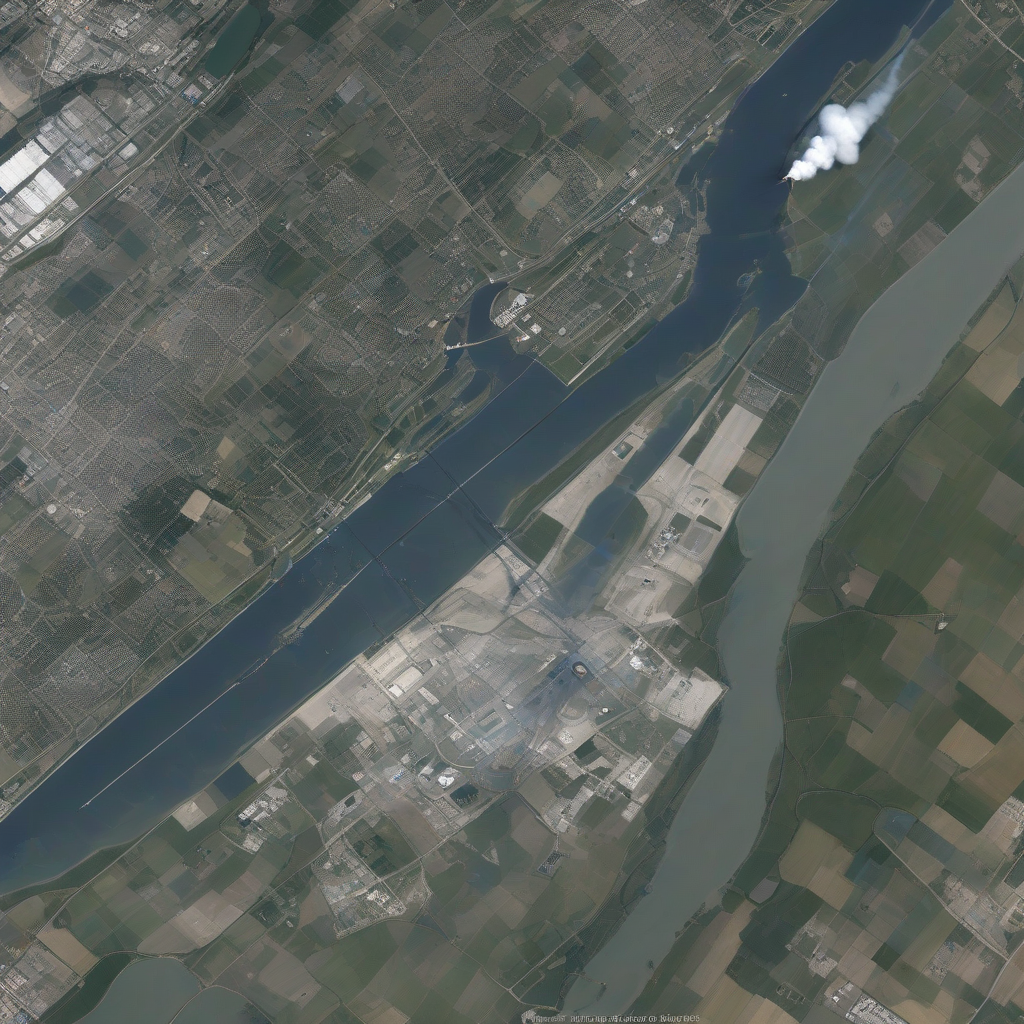
Operational context for NASA Satellite Data Reveals Tidal Impacts on Elbe River Navigation
📸 Figure 1.2 · Operational Context
Figure 1.2: Secondary sector visual for NASA briefing on NASA Satellite Data Reveals Tidal Impacts on Elbe River Navigation.Skyline Intelligence

Strategic Implications

  • Landsat 9 captured tidal variance in the Elbe estuary on August 15, 2025, and May 11, 2025.
  • The mean tidal range at Cuxhaven is 2.9 meters (9.5 feet).
  • Over 10 million migratory birds utilize the Wadden Sea region annually.
  • The Elbe estuary facilitates access to Hamburg, the EU's third-largest container port.

New satellite imagery released by the NASA Earth Observatory illustrates the significant tidal influence on the Elbe River estuary, a critical maritime corridor in Northern Europe. According to NASA News Releases, data captured by the Operational Land Imager (OLI) on Landsat 9 documents the stark visual contrast between low tide on August 15, 2025, and high tide on May 11, 2025.

The Elbe River, which spans over 1,000 kilometers (600 miles) across Europe, presents distinct hydrological challenges at its North Sea approach. Monitoring by NASA confirms that the mean tidal range at Cuxhaven is 2.9 meters (9.5 feet). Because the tidal cycle is asymmetrical—featuring a shorter flood period than an ebb—incoming currents typically travel with higher velocity. This phenomenon facilitates increased sediment transport up the 140-kilometer-long (87-mile-long) estuary compared to the volume carried seaward.

Navigational and Environmental Data

Feature/MetricSpecification
Elbe River Length1,000 kilometers (600 miles)
Estuary Length140 kilometers (87 miles)
Cuxhaven Mean Tidal Range2.9 meters (9.5 feet)
Annual Migratory Bird TrafficOver 10 million

These tidal flats are an integral segment of the Wadden Sea, the world's most extensive continuous intertidal sand and mud flat system, stretching from the Netherlands to southern Denmark. This geography serves as a vital environmental hub, hosting more than 10 million migratory birds annually. For maritime logistics, the river mouth acts as the primary access point for the Port of Hamburg, the third-largest container port in the European Union, and the Kiel Canal.

Operations remain highly dependent on tidal windows. To maintain safe passage through the channels for deep-draft vessels, continuous dredging is required to mitigate the accumulation of sediment. In specific cases, ship transit remains strictly limited to high-tide windows to ensure sufficient depth.

Why It Matters

The relationship between tidal dynamics and logistical efficiency in the Elbe estuary highlights the vulnerability of European supply chains to natural geomorphology. As container ships grow in size, the requirement for consistent draft depths becomes a permanent operational constraint for the Port of Hamburg. Continued reliance on dredging presents long-term environmental and fiscal costs, forcing logistics operators to balance the economics of vessel size against the physical limitations of the tidal channels. Satellite monitoring provides the baseline data necessary for port authorities to predict silting patterns and manage the transit schedules of international trade fleets more accurately.

Deployment Roadmap & Timeline

May 11, 2025

High tide imagery acquired by Landsat 9.

August 15, 2025

Low tide imagery acquired by Landsat 9.

Expected Next Steps

  • 1Continued monitoring of sediment accumulation via satellite imagery.
  • 2Evaluation of dredging frequency at the Port of Hamburg.
  • 3Analysis of long-term tidal trends on North Sea shipping routes.

Frequently Asked Questions

The mean tidal range at Cuxhaven is 2.9 meters (9.5 feet).

Dredging is necessary to remove accumulated sediment from shipping channels, ensuring that vessels can reach the Port of Hamburg and access the Kiel Canal.

The Elbe River flows for more than 1,000 kilometers (600 miles) across Europe.

Source Transparency & Verified Dispatches

✓ Verified Primary Data
NASA Earth Observatory💼 Corporate Dispatch
Source ↗
NASA News Releases💼 Corporate Dispatch
Source ↗

Reader Discussion & Insights

Leave a Comment

Loading discussion thread...

Get Breaking Global Intel in Your Inbox

Subscribe to the Skyline Wire AI Daily Briefing. Direct insights across Aviation, Tech, EVs, and Markets.

Original announcement link: NASA News Releases

nasalandsatshippingmaritimegeography
elbe rivernasa earth observatorytidal flatsport of hamburglandsat 9maritime logisticscuxhavenshipping routes