
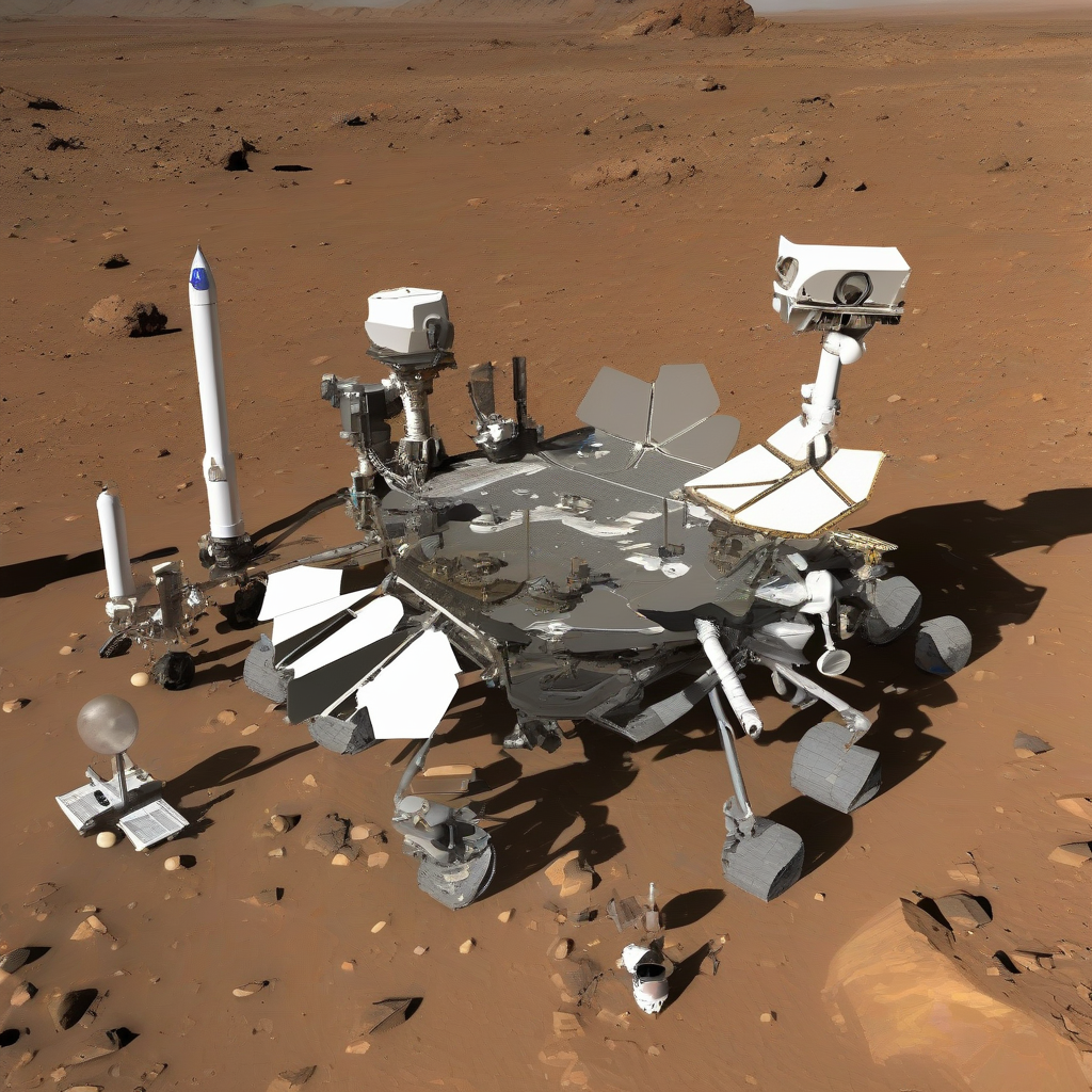
NASA's Curiosity Mars rover has recorded images of unusual geometric formations within a valley on Mars, according to Space.com. The data, collected by the rover during its 4,930th and 4,931st Martian days on June 19 and 20, 2026, depicts extensive honeycomb-like patterns labeled as "polygonal fractures" located in the Valle Grande region.
The structures, which appear in fields extending to the base of a 20-foot (6-meter) tall butte known as Miraflores, measure between 1.5 to 3 inches (4 to 8 centimeters) across. The Miraflores butte itself was documented by the rover on June 11, 2026. While the mission team has previously encountered geometric anomalies on the Martian surface, the extent and configuration of these specific features have prompted additional scientific scrutiny.
Ashwin Vasavada, a project scientist at NASA's Jet Propulsion Laboratory, noted in a formal statement that the team is currently evaluating chemical and physical data to determine the origin of these patterns. Primary hypotheses suggest that cyclical temperature fluctuations on Mars may have forced water through sediment layers, creating the fractures. However, researchers indicate that further data collection is necessary to confirm the precise environmental conditions responsible for these formations.
| Feature | Specification |
|---|---|
| Feature Type | Polygonal Fractures |
| Feature Size | 1.5 to 3 inches (4 to 8 cm) |
| Mission Days Observed | 4,930 and 4,931 |
| Observation Dates | June 19-20, 2026 |
| Miraflores Butte Height | 20 feet (6 meters) |
| Miraflores Observation Date | June 11, 2026 |
Why It Matters
The identification of consistent geometric soil structures provides high-value data regarding the historical presence of water and thermal shifts on Mars. For the aerospace and planetary science sectors, understanding these geological processes is essential for site selection during future robotic and potential human exploration missions. These findings indicate that localized environmental variability remains a variable factor for surface operations, necessitating advanced sensor calibration to ensure that future hardware can differentiate between naturally occurring soil patterns and evidence of past biological activity or subsurface resources.
Reader Discussion & Insights