
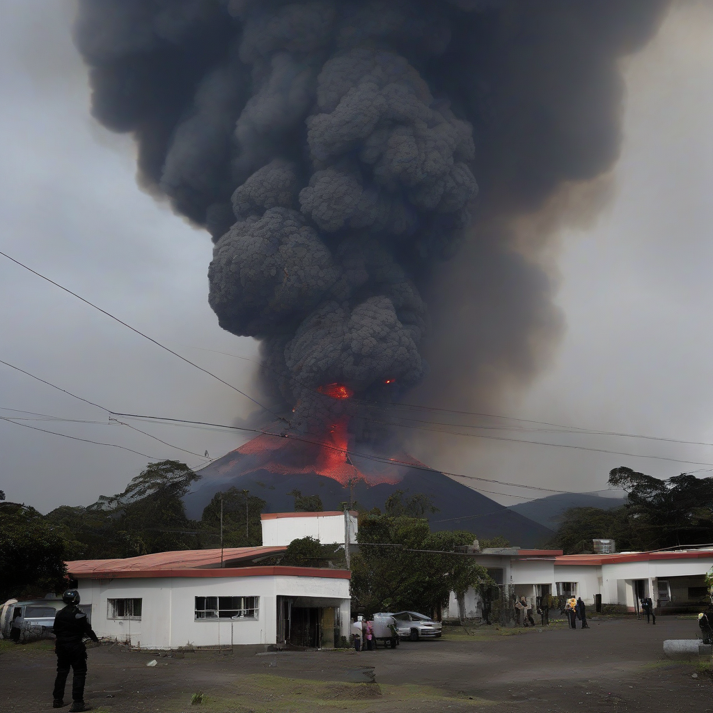

Official reports indicate that the volcanic activity at Guatemala's Fuego volcano, which initiated on Monday morning and necessitated significant regional evacuations, is currently in a state of gradual decline. According to Phys.org, authorities have confirmed that while the intensity of the eruption has lessened as of Wednesday, the surrounding areas remain subject to ongoing safety protocols and monitoring.
The eruption cycle, which forced local residents to abandon their homes earlier this week, is now being evaluated by geological experts. While the reduction in seismic and eruptive output provides some relief for emergency management teams, disaster response agencies have not yet declared the site entirely stable. Officials continue to stress that the environment remains volatile, and residents are advised to maintain distance until official clearance is issued by the relevant governmental bodies.
Incident Timeline and Data
| Observation Period | Event Status | Primary Impact |
|---|---|---|
| Monday Morning | Eruption Onset | Widespread Evacuations |
| Wednesday | Decreasing Activity | Monitoring in Effect |
Why It Matters
This event highlights the increasing reliance on integrated sensor networks and predictive modeling to manage risks in geologically active regions. In the broader context of infrastructure and logistics, such seismic events illustrate the necessity for real-time risk assessment in global supply chains. As technology providers continue to integrate satellite-based monitoring and ground-level sensory data, the ability to preemptively signal evacuations is improving. However, these disruptions underscore the fragility of regional connectivity and the economic burden placed on local populations and industries during prolonged geological threats.
Reader Discussion & Insights